

Between 1926 and 1968 a narrow-gauge railway climbed out of Spoleto, crossed a mountain ridge and followed the river Nera up the Valnerina to Norcia. It was 51 kilometres long, built to a 950 millimetre gauge, and designed by a Swiss engineer who had learned his trade on Alpine lines. Today the trackbed is a gravel rail trail, and for a guest staying on a farm anywhere between Spoleto and the Sibillini it is the best single day on a bike in Umbria: enclosed, car-free for long stretches, shaded by tunnels and beech woods, and never steeper than a train could manage.
Why the line was built the way it was
The problem the engineers faced was a ridge. Spoleto sits at about 400 metres; the Valnerina villages on the far side lie lower, around 330 metres at Sant’Anatolia di Narco, but a mountain spur separates the two. Rather than tunnel straight through, the line was built as a slow climb with a maximum gradient of 4.5 percent, the same limit still used by many Alpine railways. To gain height in a confined space, the builders cut helicoidal tunnels, spirals inside the mountain in which the track turns a full circle and emerges a few dozen metres above where it entered. The summit is reached at the old Caprareccia station, at roughly 620 metres, just before the long tunnel of nearly two kilometres that pierces the ridge.
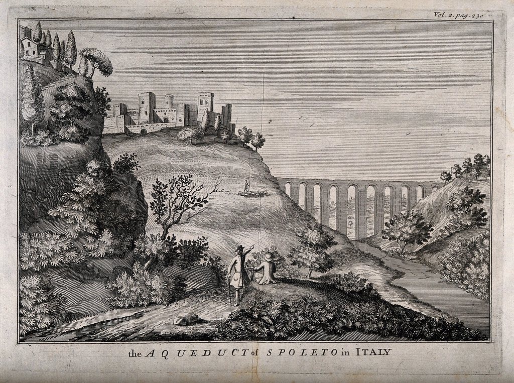
Along its length the railway needed 19 tunnels and 24 bridges and viaducts. The most striking is the curved viaduct above the wooded ravine on the Spoleto side, high enough that cyclists usually stop in the middle and look down through the parapet. All of this served a mountain economy that was already emptying; by the 1960s road transport had won, and the last train ran in 1968.
The three sections of the trail
The route divides naturally into three parts. The first, from Spoleto up to Caprareccia and down to Sant’Anatolia di Narco, is about 20 kilometres and contains nearly all the engineering: the spiral tunnels, the big viaduct and the summit gallery. This is the section most people come for, and it can be ridden as an out-and-back or as a loop returning on the quiet valley road.
The second part follows the Nera upstream from Sant’Anatolia through Castel San Felice, Piedipaterno, Borgo Cerreto and Triponzo, roughly 20 kilometres of gentle, almost imperceptible climb beside a river that runs clear over white stones. The valley is narrow, the villages are small and stone-built, and there are old stations, some restored and some not, every few kilometres. The third part, from Triponzo up to Serravalle and on to Norcia at 604 metres, is about 11 kilometres and the steadiest climb of the day. Parts of this final section were damaged in the 2016 earthquakes and have been closed for periods since; the state of the trail here changes from year to year, so ask locally before counting on it.
What the riding is actually like
The surface is compacted gravel with sections of rougher stone, loose patches in the tunnels and a few short stretches on tarmac where the trail joins minor roads. A gravel bike with tyres of at least 35 millimetres, a hardtail mountain bike or a sturdy hybrid all work; a road bike does not. Lights are essential. Several tunnels are unlit and long enough that you lose the daylight from both ends, and the temperature inside drops by ten degrees or more even in August, a pleasure on the climb and a shock on the way down.
Gradients are gentle by design. The climb from Spoleto to Caprareccia gains about 220 metres over some 15 kilometres, never more than the 4.5 percent the locomotives could handle, so even an unfit rider can spin up it slowly. The descent to Sant’Anatolia is quick but not dangerous as long as you keep the speed down on the gravel and remember that walkers use the trail too. Allow four to five hours of riding for the full distance to Norcia, plus stops, and far less for the Spoleto section alone.
Where to start, and which direction
Spoleto is the natural start for a reason: it has a mainline railway station on the Rome to Ancona line, so you can arrive by train, ride out and be collected at the far end. The rail trail begins near the old narrow-gauge station on the edge of the lower town and climbs immediately, so the hardest part is done while the legs are fresh and the day is cool. Riding from Norcia toward Spoleto reverses this and gives a long descent at the end, but it finishes with the ridge climb in the afternoon heat.
With only half a day, the section from Spoleto to the summit tunnel and back, about 30 kilometres with a single climb, gives you every spiral and viaduct. For the river without the mountain, start at Sant’Anatolia di Narco and ride up the valley to Borgo Cerreto and back on the flat, as families with children often do.
Bikes, kit and the practicalities
Bike hire is easy to arrange in Spoleto and in the Valnerina villages, and many farm stays in the area either keep a few bikes for guests or can have them delivered; electric-assist models have become common and make the full route realistic for almost anyone. Ask for a bike with proper front and rear lights, a spare tube and a pump, and carry a windproof layer for the tunnels and the descent. Water is available in the villages but not on the ridge, so leave Spoleto with at least a litre and a half per person. There is no charge to use the trail itself.
- Full route: 51 km from Spoleto to Norcia; altitude from about 400 m up to 620 m at Caprareccia, down to 330 m in the Valnerina, then up to 604 m.
- Best months: April to June and September to October; July and August are hot in the valley but cool in the tunnels; winter brings ice in the shade.
- Essential: front and rear lights, tyres of 35 mm or wider, a printed map of the trail, and a local check on the condition of the Serravalle to Norcia section.
Combining the ride with a farm stay
The trail makes an unusually good spine for a slow week. Spend the first nights on a farm in the olive terraces around Spoleto, at 300 to 500 metres, and ride the ridge section one morning as a warm-up. Then move base to the Valnerina, where the farms are smaller, the food turns to river trout, lentils, farro and cured pork, and the trail passes within a few hundred metres of many gates. From there Norcia is a day’s ride up the valley, and the Piano Grande of Castelluccio is a further 28 kilometres by road for anyone who still has legs. Finish with a night high up, a bowl of lentil soup and the ache of a route that once carried a whole valley’s flour, timber and passengers and now carries only bicycles and the sound of the river.
